
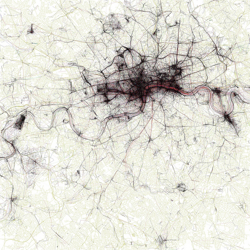

I recently came across a beautiful and fascinating set of images on Flickr. They are maps, compiled by Eric Fischer from the metadata of geotagged images on Flickr and Picasa. The set is called The Geotaggers’ World Atlas and is a fascinating thing to behold. All the maps are to the same scale (a square measuring 15 miles on each side, and comprise many of the world’s capitals and larger cities. They reminded me at first sight, of the human blood system, or nerve paths leading out from a central brainstem. But don’t let that put you off… go look!